Horizon Europe
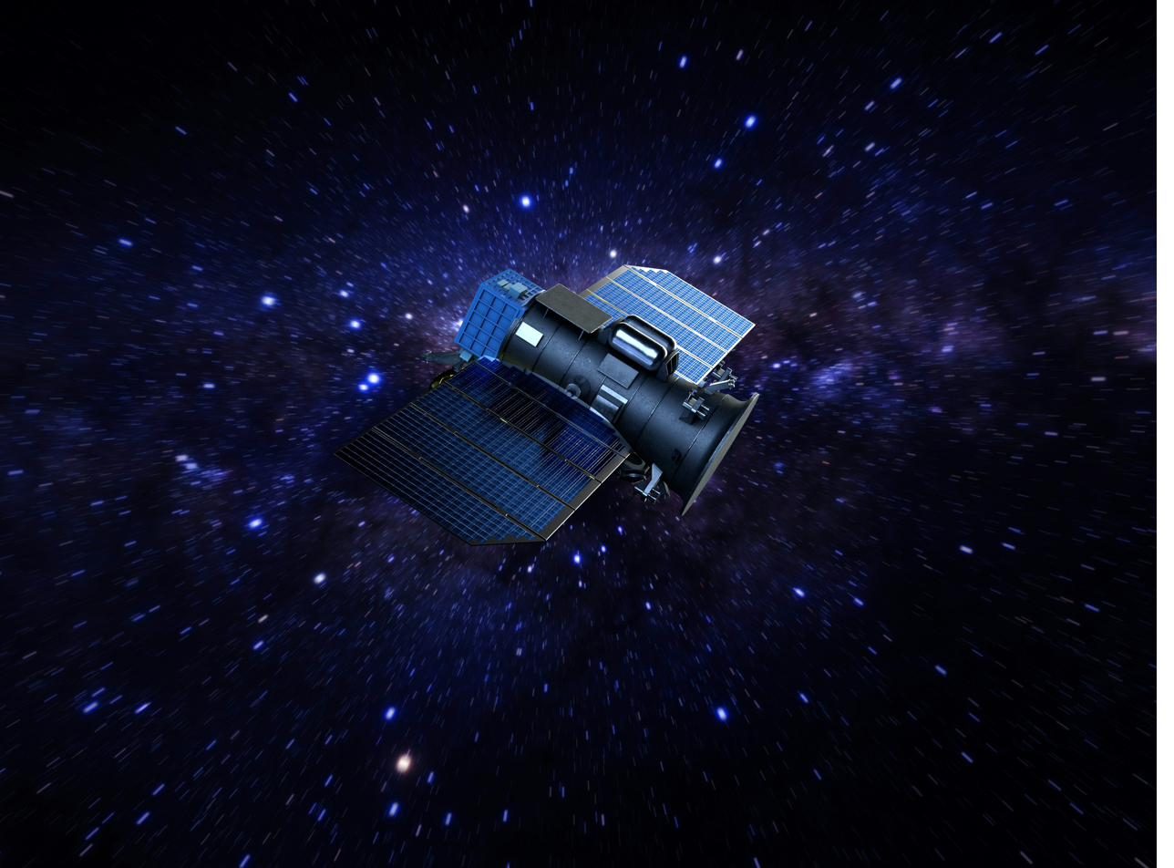
LUCAS-CLIM - climate-intelligent land use with Earth observation
Soil is climate protection. LUCAS-CLIM combines Earth observation and AI to make land use climate-intelligent - in Europe and south of the Sahara.
What it's about
How land is used decides over harvests, water and CO₂. Yet sound knowledge about soils and cultivation is scarce - precisely where it is needed most urgently.
LUCAS-CLIM analyses Earth observation data with AI to shape land use in a climate-intelligent way - from the region down to the individual field. The real task lies in turning satellite data into knowledge that is explainable, verifiable and transferable between very different realities.
What makes it special
Satellite data becomes practical knowledge: explainable, verifiable and transferable - from European agricultural regions to Sub-Saharan Africa. Not one model for one place, but a method that can handle context.
Where it works
Pilot regions are planned in Europe and Sub-Saharan Africa - deliberately contrasting, to prove transferability.
What Xient brings
As partner, Xient brings the data and AI side - the same discipline with which we also translate Earth observation into decisions in AEGIS:
- Data & Analytics: Earth-observation analytics and an architecture that makes the most diverse data sources comparable.
- Artificial intelligence: models that stay traceable - and thus carry even in regulated and sensitive contexts.
- AI governance: explainability and European values as the yardstick, not an add-on.
From research into your value creation
Earth observation, data, AI - on European, sovereign infrastructure: what we deepen here shapes our data & analytics and AI governance. For companies, this becomes the ability to derive reliable decisions from large, heterogeneous volumes of data.
Consortium or call in mind?
Whether as a partner, for a joint undertaking or simply to exchange ideas - get in touch.
Get in touch